QGIS and ArcGIS
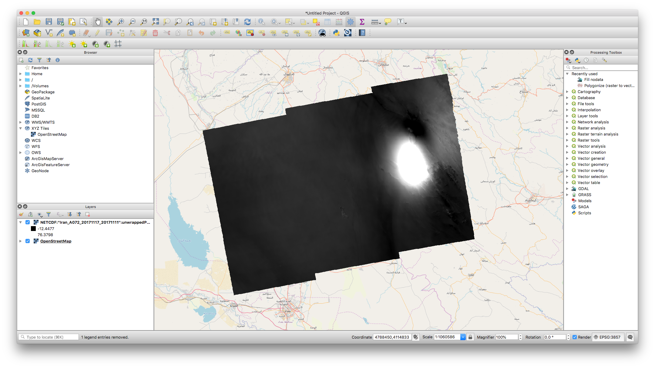
QGIS uses GDAL for loading files. GDAL support for NETCDF with groups is integrated in the GDAL main branch and tagged to be included in GDAL release 2.5. The example below leverages this developer branch and demonstrate the compatibility of the NETCDF products with QGIS.